EMODnet Seabed Habitats Workshop
")
EMODnet Seabed Habitats continues to expand geographical coverage of the project to selected EU territories in the Caribbean (Anguilla, Sint Maarten, Guadeloupe and Martinique). The process of collating data for the Caribbean began during Phase 4 of the project (2021-2023). To aid this, the South Atlantic Environmental Research Institute (SAERI) were engaged as a consortium partner. As the partner with responsibility for data collation in the region, SAERI organised a workshop in Anguilla with a view to building capacity in spatial data management for the region. Stakeholders in the region were invited to attend a 6-part data submission training course in September, 2023. Participants included the Anguilla National Trust, the Anguilla Department of Natural Resources and the Anguilla Fisheries and Marine Resources Unit.
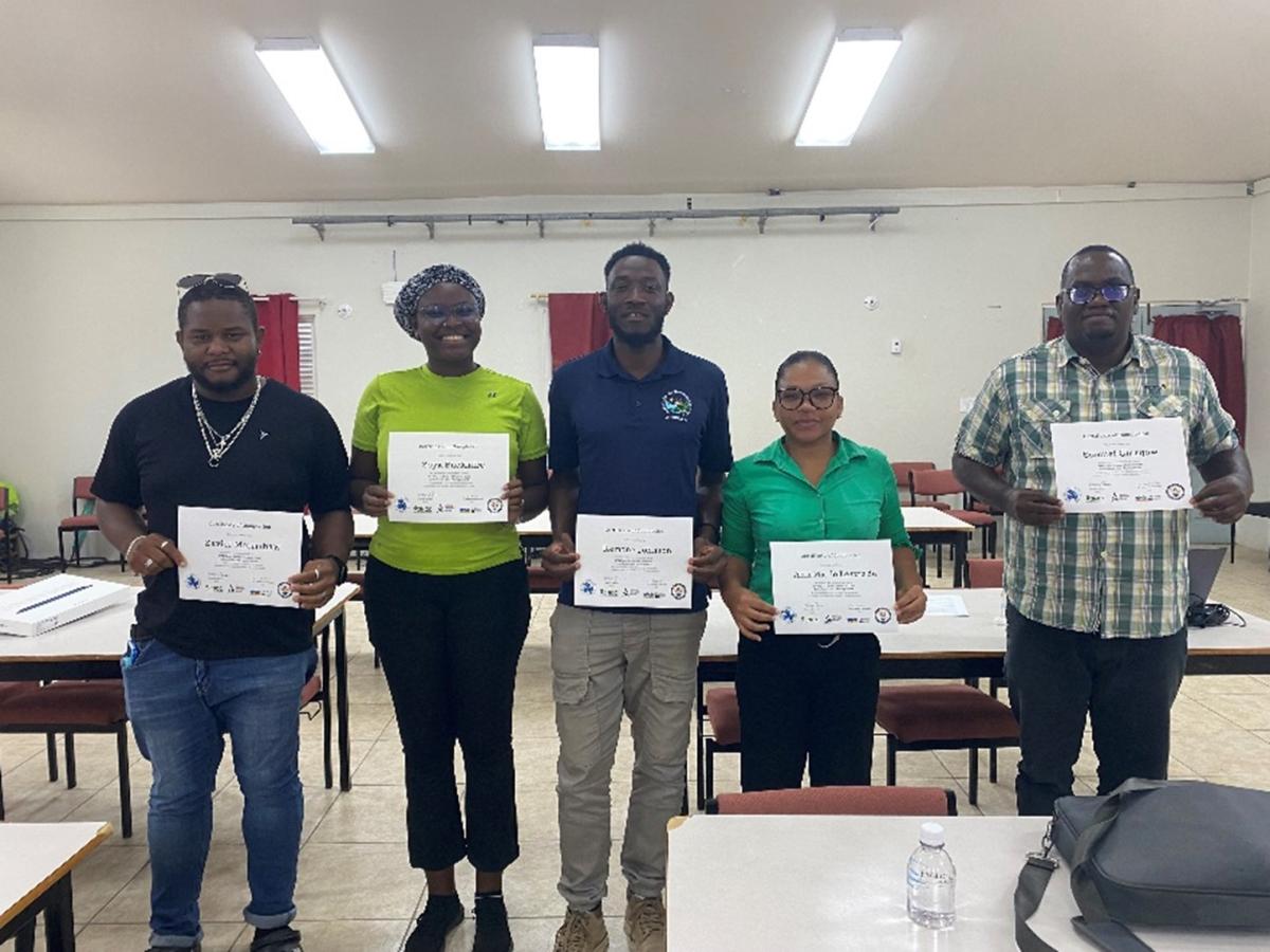
Figure 1. Participants of the ESH workshop in Anguilla display their certificates upon completion of the data submission training. (©EMODnet Seabed Habitats)
The workshop was a resounding success, evidenced by the submission in 2023 of nearly 70 habitat maps collated from different entities in the region, including NOAA, The Nature Conservancy, the Allen Coral Atlas, and the Waitt Institute. These maps greatly contribute to expanding the scope of EMODnet Seabed Habitats in the Caribbean and continue to further the EMODnet goal of making marine data accessible to all. One of the immediate outputs has been the use of these data to expand coverage of two Essential Ocean Variable (EOV) products: Live Coral and Seagrass Cover.
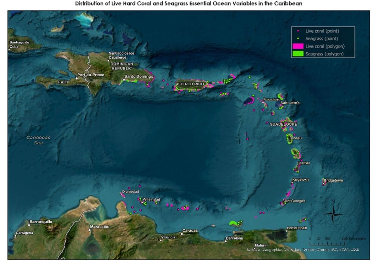
Figure 2. Live Hard Coral and Seagrass EOV data collated in the Caribbean.(©EMODnet Seabed Habitats)