EMODnet’s Central Map Viewer Unveils new visualization and technical Upgrades
Map Your Way: Introducing Flexible Map Projections
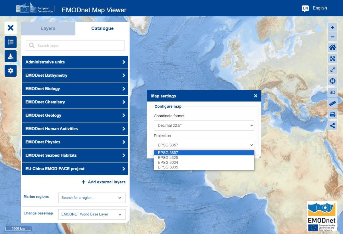
The EMODnet Central Map Viewer now offers the capability to change the map projection, providing you with the freedom to visualize data in your preferred projection. We've introduced a range of available map projections to cater to various analytical needs, including EPSG:3857 (Pseudo-Mercator), EPSG:4326 (Web Mercator - WGS 84), EPSG:3034 (Continental Europe - Lambert Conic Conformal), and EPSG:3035 (Continental Europe - Lambert Azimuthal Equal Area). Look at Figure 1 to see the drop-down list of available map projections.
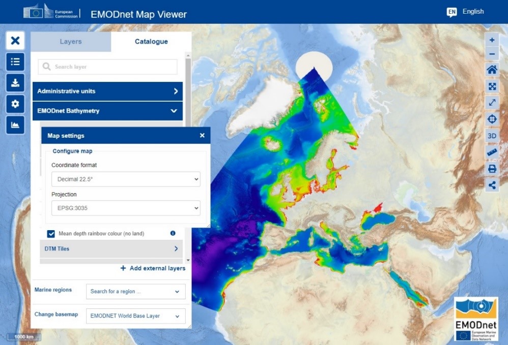
Now, when you're sub-setting and downloading the Bathymetry Digital Terrain Model (DTM) for your specific area of interest, you have the opportunity to select parameters and customize your exploration. This option is available if you're choosing to download the DTM in the esriAscII or GeoTIFF file format. With this upgrade, you can tailor the data you receive to match your analytical requirements precisely. See an example of the power of parameter selection in Figure 2.
These technical upgrades represent EMODnet’s commitment to enhancing your marine exploration journey. With the EMODnet Central Map Viewer, you're not just accessing data – you're gaining a tool that adapts to your needs, helping you uncover new insights with efficiency and precision.
Click on the link and experience the evolution first-hand by diving into the enhanced EMODnet Central Map Viewer: EMODnet Map Viewer (europa.eu)