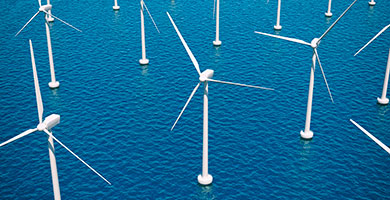
Windfarm Siting
The objective was to apply existing Baltic Sea monitoring data and identify their adequacy for determining the suitability of sites for development of offshore wind farms, including aspects of wind strength, wave-ice-current conditions, seafloor geology, environmental impact, distance from grid, shipping lanes etc.
Listed below are the data which the consortium had identified as necessary requirements in order to determine the suitability of a site for offshore wind farm development.
- Wind/wave/current hindcast data in 1-5km resolution by DMI; Wind Atlas data for Baltic in 8km resolution and 4km resolution for Gulf of Finland. The data periods are longer than 10years.
- Ice chart (10years) issued by SMHI
- Sea floor geology, available via EMODnet-Geology
- Bathymetry (numerical values and maps), available from EMODnet-bathymetry and WP11
- Data for analysing the environmental impact of wind farms, e.g. from EMODnet-Habitat and EMODnet-Human, HELCOM and WP3 output of MPAs
- Shipping tracks in the areas considered available via the European Maritime Safety Agency (EMSA), HELCOM and project partner SMA.
- Information on the access to the electricity grid available via the governmental authorities.
- EMODnet Physics - waves and wind data
Furthermore, the outcome of the literature survey (work package 1) was used; e.g. to inform what the key data sets are and definitions of terminology.
Participants
| Danish Meteorological Institute |  |
| Finnish Meteorological Institutes |  |
| Tallinn University of Technology | |
| Grontmij |  |