Open Sea Lab
Open Sea Lab III
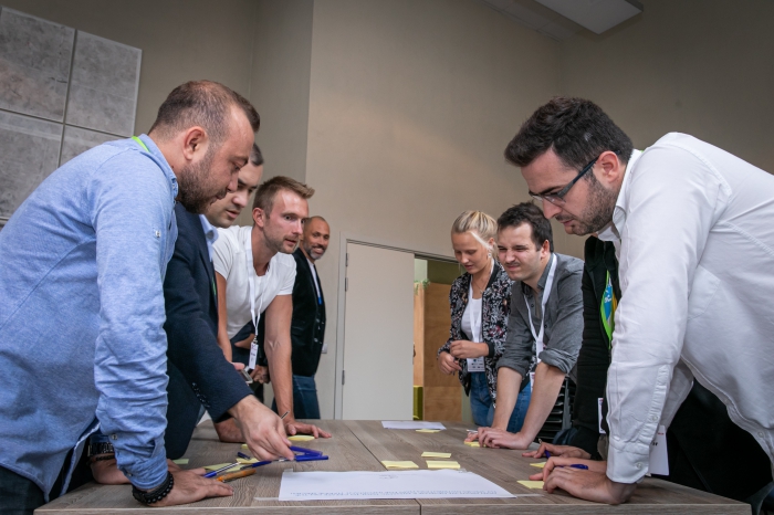
The third edition of EMODnet’s hackathon - Open Sea Lab 3.0 (OSL 3.0) - was an opportunity to challenge users to test EMODnet’s newly centralised services, inviting the community to explore and exploit the advantages brought by having a common cross-thematic map viewer and new, expanded functionalities and features. OSL 3.0 was also set in an ever evolving EU and international ocean policy landscape. Since OSL II EMODnet had delivered a high-resolution multi-resolution digital map of the seabed of European waters by 2020, as a contribution to the wider EU Marine Knowledge 2020 initiative. At the time of OSL 3.0 in early 2023, the EU Green Deal and its many policy objectives was in full swing, the EU Digital Twin of the Ocean was well in development, for which EMODnet provides a key infrastructure together with Copernicus Marine Service and EMODnet had pledged its contribution to the objectives and cross-cutting enablers of the EU Mission “Restore our Ocean and Waters by 2030”. At a global level, the UN Decade of Ocean Science for Sustainable Development had begun, with multiple contributions of EMODnet to this and to the wider UN Agenda 2030 and its 17 Sustainable Development Goals. OSL 3.0 was geared at fostering community networking and promoting the development and uptake of innovative, science-based solutions based on EMODnet resources for Policy, Research/Academia, industry (private sector), civil society (NGOs) and wider society / ocean literacy applications.
Report
Media
Open Sea Lab II
The second edition of EMODnet Open Sea Lab (OSLII) in 2019 had 70 participants from 19 nations. OSLII captured the imagination in a way that few events in the marine data world can, which is largely due to the openness, creativity and enthusiasm of all of those involved. It has provided an opportunity for those interested in developing innovative blue solutions to learn, to teach, to network and to create during the three days of the open data bootcamp.
Report
Media
Open Sea Lab 2017
In 2017, EMODnet held its first Open Sea Lab, a hackathon to explore EMODnet's open marine data. During 3 days, Participants from 15 countries with diverse backgrounds and skill sets, came together to ideate and co-create innovative solutions to unique problems using EMODnet’s wealth of marine data and services.
This was no ordinary hackathon; with organisers from EMODnet, VLIZ and imec on-hand, participants were able to avail of expert-led workshops and one-on-one training to improve their data manipulation, business-modelling, user-testing and pitching skills.
The competing teams worked with great enthusiasm and determination to develop their ideas in only three days, combining data from EMODnet portals, but also from other sources such as CMEMS and ICES. Diverse and advanced concepts and demos were presented to the jury at the end of Day 3. The outputs ranged from tools to support fishermen, environmental managers and the windfarm sector, to marine tourism apps for the general public. A common theme was the need to develop an interface that could harness the vast resources of available marine data and make these accessible for users in a way that they can understand and use them to address their specific needs.