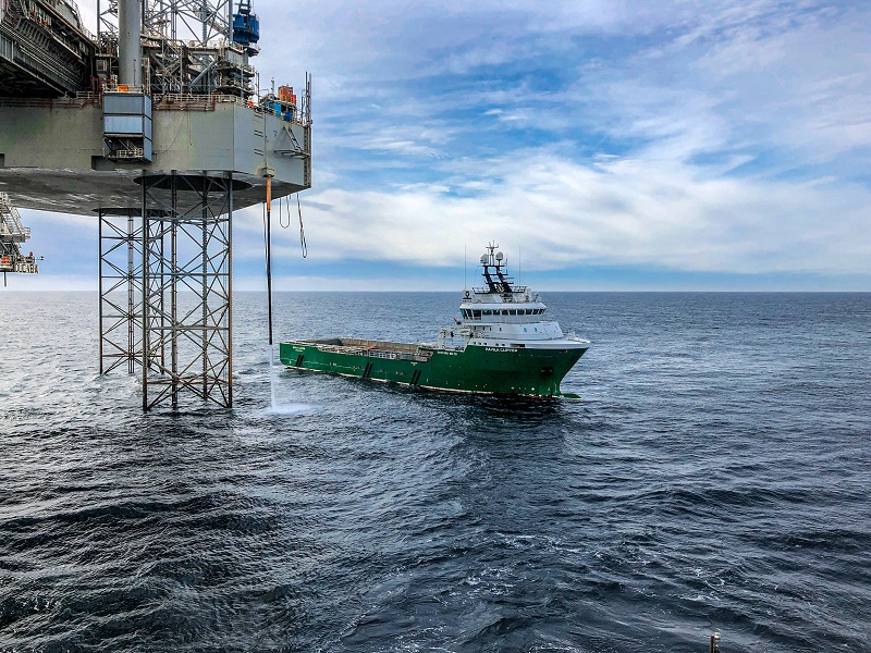
Oil Platform Leaks

Objective
The objective is to check the preparedness of operational tools and existing Baltic Sea monitoring data for forecasting an oil spill dispersion and estimating the likelihood that sensitive coastal habitats or species or tourist beaches will be affected, to be able to meet the objective the following inputs are needed:
Before the accident:
- An operational oil drift forecasting system for the area
- Maps of sensitive areas (eg, coastal habitat) and tourist beaches – connection to EMODnet-Habitat, EMODnet-Human and WP3
- Routine production of forcing data: wind, wave, ocean and ice forecast at least twice a day from DMI and SMHI (1 hour interval output data).
- A contact point for receiving information about the leak
- Response plans
During the exercise (provided by DG-MARE):
- Position of oil spill (include latitude, longitude and depth)
- Observed oil if available (optional)
- Amount of oil
- Type of oil
- Information about if it is a temporary or continuous oil spill
Participants
| Swdish Meteorological and Hydrological Institution |  |
| Danish Meteorological Institute |  |
Outputs
The DMI ocean model is composed of:
- A hydro-dynamical model describes the motion of water bodies, represented by sea current and sea level. A complete hydrographic description includes sea temperature, salinity, and sea ice.
- A storm surge model that calculates the sea level
- A spectral 3rd generation wave model
- A drift model to calculates drift and spreading of oil/dissolved substances or lost cargo in the sea
- An ecological model that calculates the content of oxygen, nutrient and a number of plankton/algae in sea water.
Ocean models are forced by the weather forecast, as produced by a numerical weather prediction (nwp) model that provides the surface forcing - mechanic, thermodynamic and radiative - that sets the ocean in motion and changes its physical and chemical state. For further info see:
- /sites/emodnet.ec.europa.eu/files/public/checkpoint%20migration/Baltic%20Sea/tr03-36.pdf
- http://ocean.dmi.dk/models/index.uk.php#drift
- http://ocean.dmi.dk/case_studies/index.uk.php
SEATRACK (https://stw-tst.smhi.se/) is the oil drift forecasting system developed by SHMI. An example of model simulation result can be found here: https://stw.smhi.se/oil/player/?id=1fd82f9e-729c-42ac-a008-cb77aca874aa. This is a 72h simulation of an oil spill off the Swedish east coast in the Stockholm archipelago. The simulation shows how an oil spill of 500 cubic meters of heavy oils will drift and where the oil will reach the shore. In this example Hiromb is used as the ocean model, and the meteorological data is from the ECMWF global model
oil leak simulation :
10/05/2016 - Oil leak Alert - description
11/05/2016 - Oil leak Alert - 24h bullettin
12/05/2016 - Oil leak Alert - 48h bullettin
13/05/2016 - Oil leak Alert - 72h bullettin
animations :
48h HIRLAM forcing, made on the 10th
48h HIRLAM forcing, made on the 11th
48h HIRLAM forcing, made on the 12th
72h ECMWF forcing, made on the 10th
72h ECMWF forcing, made on the 11th
72h ECMWF forcing, made on the 12th
72h DMI model animation
