Map of the week - Coastal Erosion, Rivers and Lakes
This week the European Atlas of the Seas will take you on a fascinating geological journey. You will discover European coastal landscapes, their rocks and sediments, their rivers and lakes, and learn about the role erosion has played in shaping Europe’s coastlines.
A drop of water travels kilometres through rivers, reservoirs and lakes before reaching the ocean and evaporating again. These processes show us the interconnectivity of the earth systems and the importance of preserving the health of these ecosystems. The condition of a river and its ecosystem can be a predictor of human health as well.
Throughout human history, these freshwater sources were used for irrigation, drinking water, transportation or fishing. Ancient civilisations were settled around main river streams and still today some of the biggest cities in the world are located near freshwater sources.
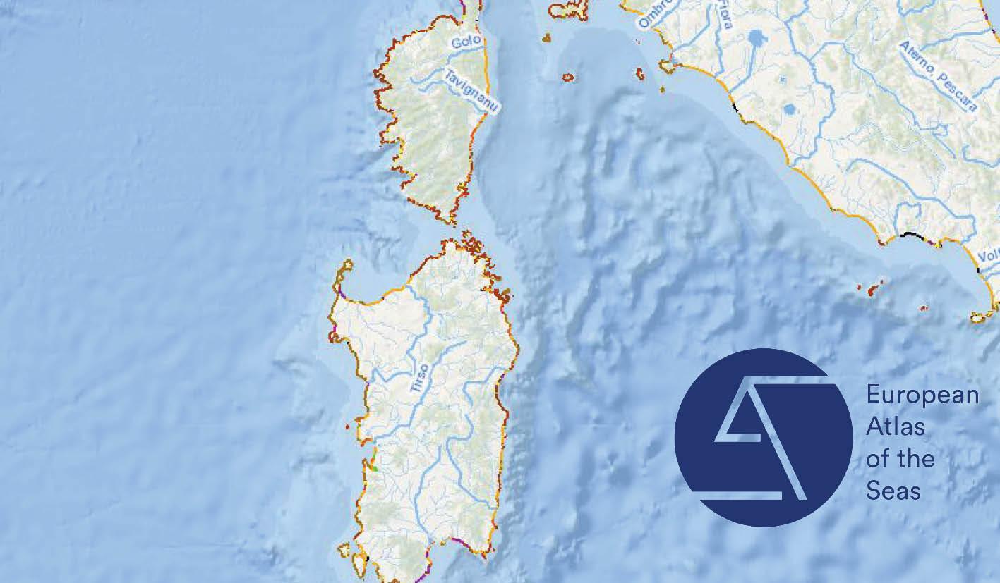
This week’s featured map locates European rivers. You can find some of Europe’s longest rivers, such as the Volga River which flows for a distance of 2,294 miles, as well as the Danube and Ural Rivers and the shortest ones, for example, the River Ombla in Croatia which flows for only 30 meters into the Bay Rijeka Dubrovacka of the Adriatic Sea.
Why not take a virtual cruise along some of Europe’s rivers or e-travel around its fascinating coast with our informative map of the week.
The data represented in this map are provided by the European Commission Joint Research Centre and EUROSION.
See the map :
http://ec.europa.eu/maritimeaffairs/atlas/maritime_atlas/#lang=EN;p=w;bkgd=5;theme=10:0.75,18:1;c=11275066.373884574,6624832.739091137;z=3