Map of the week – Bathymetry and topography
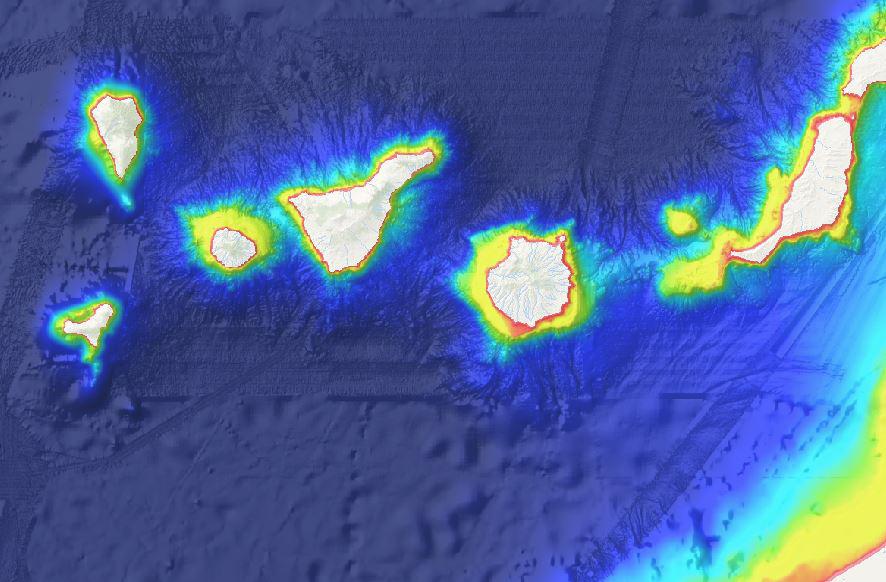
The European Atlas of the Seas displays an upgraded version of its Bathymetry and topography map layer, thanks to the release of the new EMODnet’s Bathymetry Digital Terrain Model (DTM). The Atlas offers users the incredible experience of visualising seafloor features with greater details. This bathymetry product now offers higher resolution and extended coverage of Europe’s seas.
The EMODnet DTM is a tool used for a whole range of applications in marine science, sustainable ocean governance, and blue economy activities such as planning of pipeline trajectories, locations of offshore wind farms or planning of harbour extensions.
Visit the European Atlas of the Seas and discover much more about this map layer: http://ec.europa.eu/maritimeaffairs/atlas/maritime_atlas/#lang=EN;p=w;bkgd=5;theme=7:0.75;c=-1760198.6817527479,3249985.0662448793;z=8
The data displayed in this map has been provided by EMODnet Bathymetry. http://www.emodnet-bathymetry.eu/